Colour sea-charts, specially designed for yachting.
Different colours are used to spot dangerous areas, depth of sea bed and light sectors.
They contain nautical information on the back and are written in English and French.
Each chart is periodically updated.
Charts are established from the official documents of the French Marine Hydrographic Department.
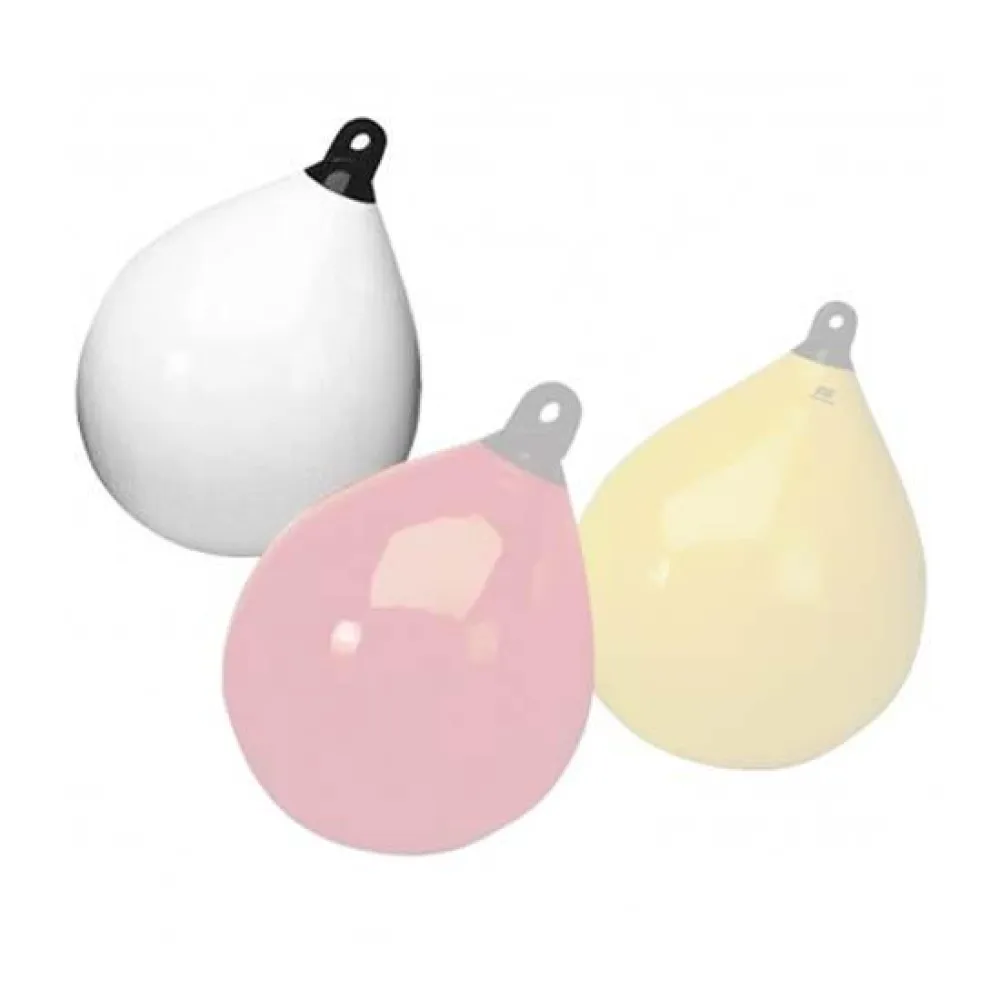
Color: Beige
Geographical Area: Mediterranean


Reviews
There are no reviews yet.