
Navigate the waters of the Channel Islands with confidence using the PLASTIMO St Vaast-Channel Islands Marine Chart. This detailed chart covers the waters surrounding the Channel Islands, providing essential information for safe and enjoyable navigation.
Key Benefits:
* Comprehensive Coverage: The chart encompasses the entire area around the Channel Islands, including the St Vaast Bay, ensuring you have all the necessary information at your fingertips.
* Detailed Information: This chart is packed with essential navigational data, including:
* Depths: Accurate depth soundings help you avoid shallow waters and navigate safely.
* Lighthouses and Buoys: Clearly marked lighthouses and buoys guide you through the waterways.
* Harbors and Marinas: Locate safe havens and access points for your vessel.
* Navigation Aids: Essential information on navigation aids, such as radio beacons and radar reflectors, is included.
* Easy to Use: The chart´s clear and concise layout makes it easy to find the information you need quickly.
* Durable Construction: Made from high-quality materials, this chart is designed to withstand the rigors of marine use.
Main Features:
* Region: Western Europe
With the PLASTIMO St Vaast-Channel Islands Marine Chart, you can confidently explore the beautiful waters surrounding the Channel Islands, knowing you have the essential information to navigate safely and enjoy your journey.
Color: Beige
Geographical Area: Western Europe
Sale!

Plastimo St Vaast-Channel Islands Marine Chart
Original price was: £30,00.£9,00Current price is: £9,00.
Related products
-
Sale!
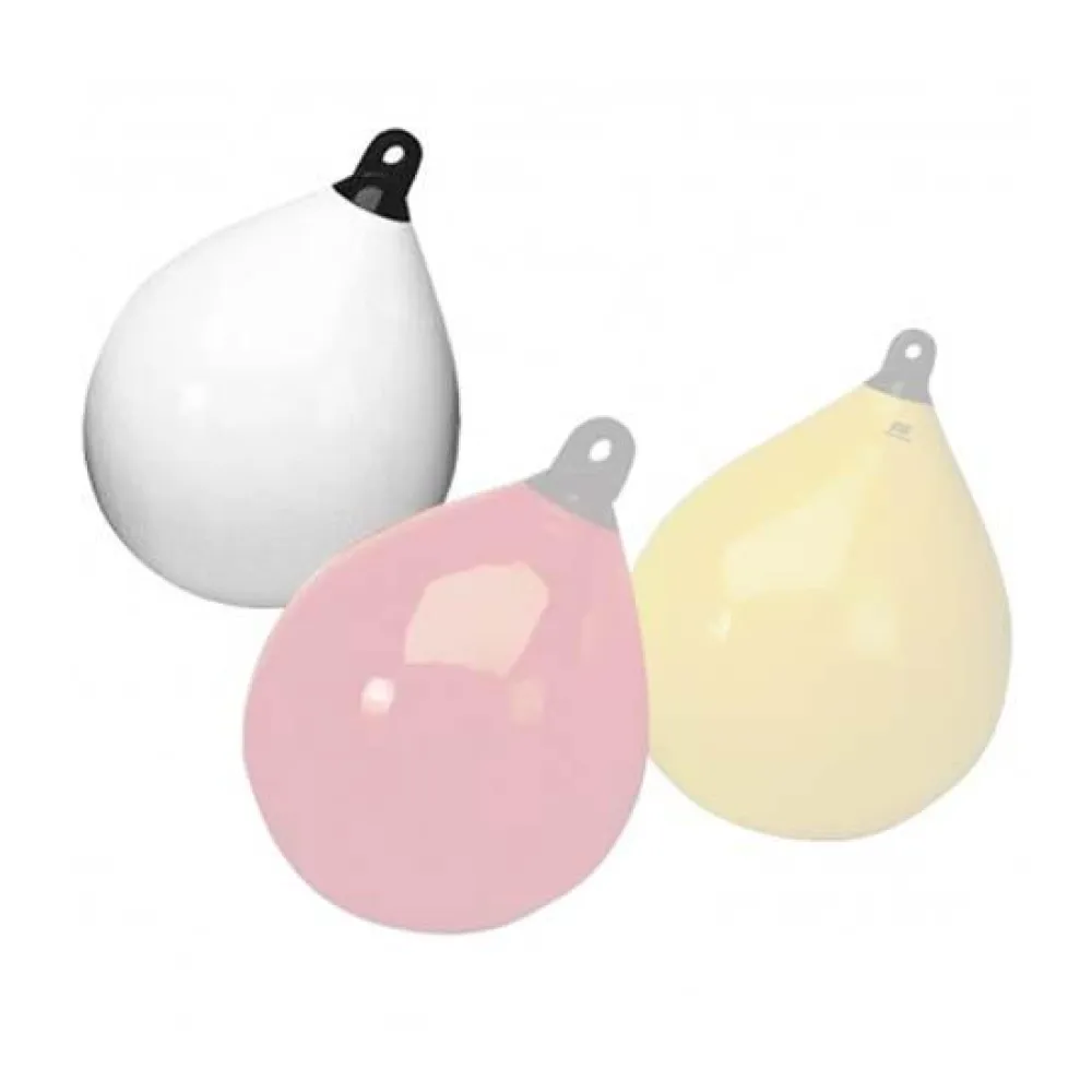
Plastimo Spherical Fender with Black Eye
Original price was: £39,00.£11,70Current price is: £11,70. -
Sale!
Plastimo Spoke Set
Original price was: £416,00.£124,80Current price is: £124,80. -
Sale!
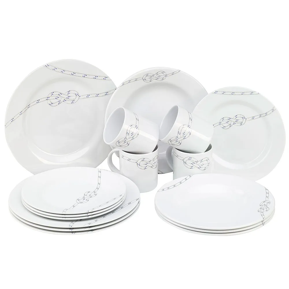
Plastimo South Pacific Tableware 16 units
Original price was: £102,00.£30,60Current price is: £30,60.
Reviews
There are no reviews yet.